

Home › Canada › Terre-Neuve-et-Labrador › Cox's Cove › 🏷️ Gratuit
Chutes de Cox's Cove
✍️ Suggested by Contributeur 123Go
Location Map
Description
Situé au bout d'un chemin de gravier de 3 km, ce petit parking offre une vue magnifique sur les chutes. Une courte randonnée vous mènera jusqu'au sommet des chutes.
🕐 Latest comments
Photo Gallery
🔒 Become a Contributor to see all photos and enjoy the site ad-free.
Become a Contributor
📍 Nearby Places
- Près de la rivière et de l'océan 🏷️ Gratuit — Humber Arm South, Terre-Neuve-et-Labrador (12.3 km)
- Emplacement près de la route pour quelques campeurs 🏷️ Gratuit — York Harbour, Terre-Neuve-et-Labrador (13.5 km)
- Emplacement le long de la route Cook's Brook 🏷️ Gratuit — Mount Moriah, Terre-Neuve-et-Labrador (15.6 km)
- Sentier Copper Mine Hiking Trail 🏷️ Gratuit — York Harbour, Terre-Neuve-et-Labrador (18.4 km)
📖 Also Worth Reading
Gas Price Converter Canada USA
Compare gas prices between Canada and the U.S., liters and gallons included.
Unit converter (length, weight, volume)
Quickly convert length, weight, and volume between imperial and metric.
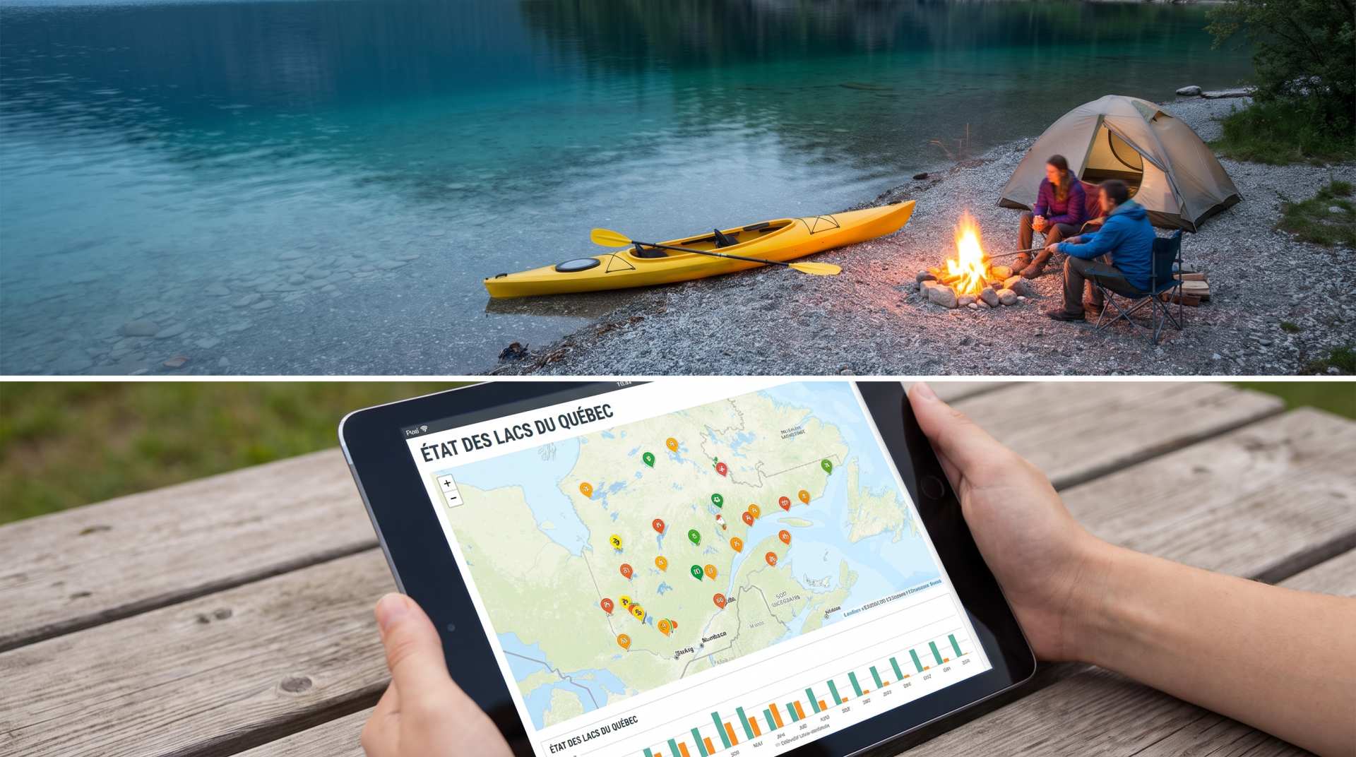
The state of Quebec's lakes: what the latest data says
Your swims and kayaking outings between two nights of camping deserve a healthy lake. Here’s what the latest data from the Government of Quebec reveals about the state of our lakes — and how to choose your next stop by the water.
What Is Boondocking?
You've seen the word everywhere — on social media, in RV Facebook groups, on our own map — but you're not quite sure what it actually means?