

Home › États-Unis › Idaho › Gibbonsville › 🏷️ Gratuit
Route Hughes Creek
✍️ Suggested by Contributeur 123Go
Amenities
Location Map
Description
Beau site isolé avec foyer, ruisseau à proximité, espace pour plusieurs véhicules. Détails: Hughes Creek Road, Lemhi County, Idaho, États-Unis. (Eau de source, potabilité non confirmée)
🕐 Latest comments
Photo Gallery
🔒 Become a Contributor to see all photos and enjoy the site ad-free.
Become a Contributor
📍 Nearby Places
- May Creek Campground – camping officiel (forêt nationale) 🏷️ Camping établi — Wisdom, Montana (23.4 km)
- Twin Lakes Campground – camping officiel (forêt nationale) 🏷️ Camping établi — Beaverhead County, Montana (26.0 km)
- Alta Campground – camping officiel (forêt nationale) 🏷️ Camping établi — Alta, Montana (27.3 km)
- Indian Trees Campground – camping officiel (forêt nationale) 🏷️ Camping établi — Sula, Montana (28.4 km)
📖 Also Worth Reading
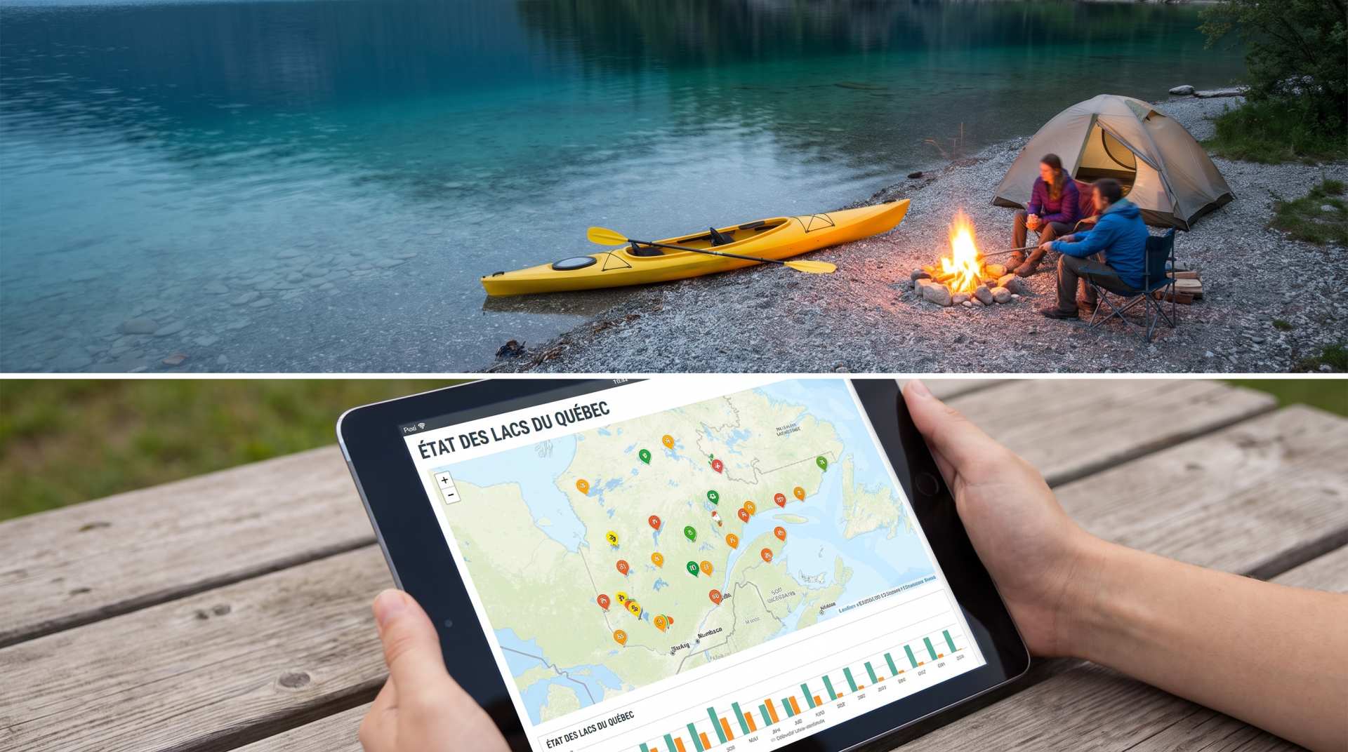
The state of Quebec's lakes: what the latest data says
Your swims and kayaking outings between two nights of camping deserve a healthy lake. Here’s what the latest data from the Government of Quebec reveals about the state of our lakes — and how to choose your next stop by the water.
Recreational Vehicle Battery Life Calculator
Estimate the autonomy of your RV battery bank based on your consumption.
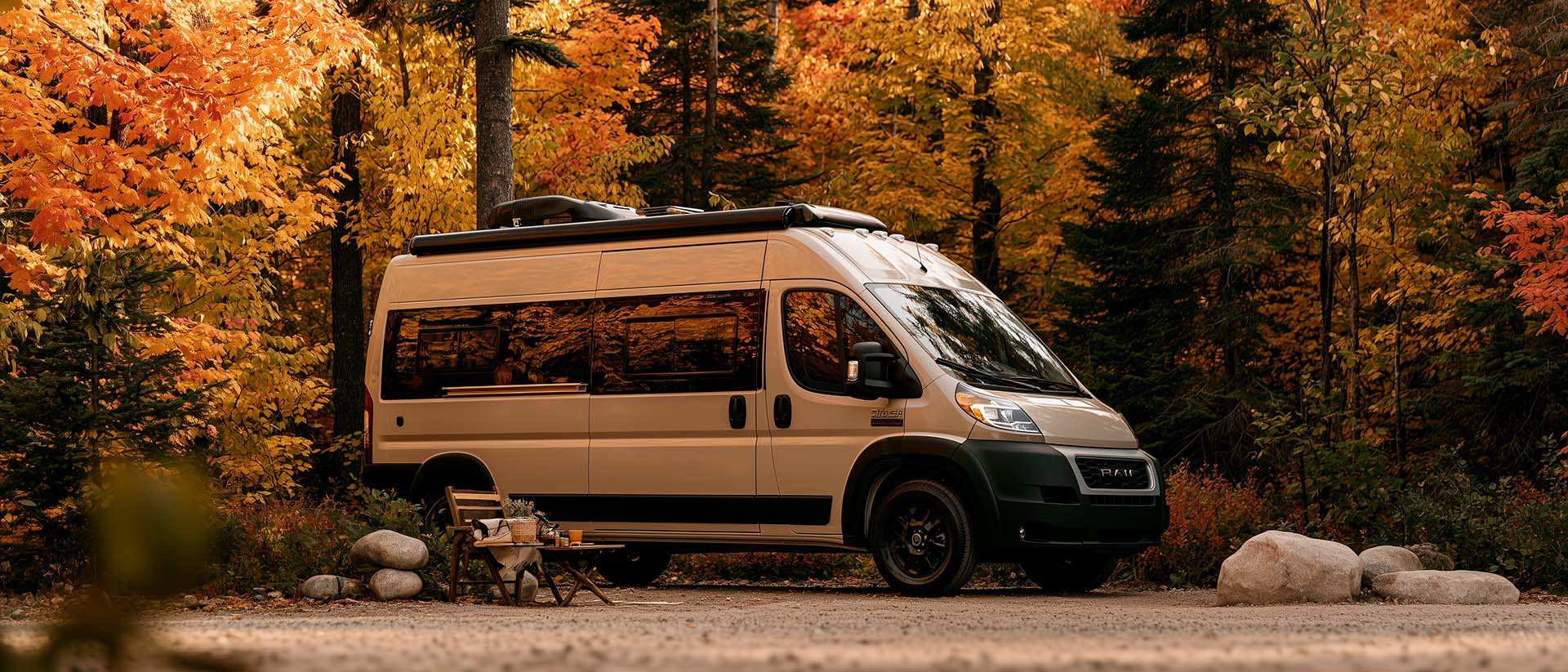
What Is Boondocking?
You've seen the word everywhere — on social media, in RV Facebook groups, on our own map — but you're not quite sure what it actually means?
Calculateur d'autonomie selon la vitesse et le réservoir et la consommation
Estimate how far you can travel based on tank size and fuel consumption.