

Home › États-Unis › Kentucky › Frenchburg › 🏷️ Gratuit
Fourche Est de la rivière Indian Creek
✍️ Suggested by Contributeur 123Go
Amenities
Location Map
Description
Camping au bord du ruisseau, permis requis, accès limité aux vans ou tentes. Détails: East Fork Indian Creek Road, Menifee County, Kentucky, États-Unis. (Eau de source, potabilité non confirmée)
🕐 Latest comments
Photo Gallery
🔒 Become a Contributor to see all photos and enjoy the site ad-free.
Become a Contributor
📍 Nearby Places
- Ruisseau Indian Creek 🏷️ Gratuit — Frenchburg, Kentucky (1.0 km)
- Emplacement de camping au tournant de Spaas Creek 🏷️ Gratuit — Nada, Kentucky (3.5 km)
- Parking du départ de sentier 🏷️ Gratuit — Slade, Kentucky (7.2 km)
- Cracker Barrel 🏷️ Cracker Barrel — Morehead, Kentucky (39.6 km)
📖 Also Worth Reading
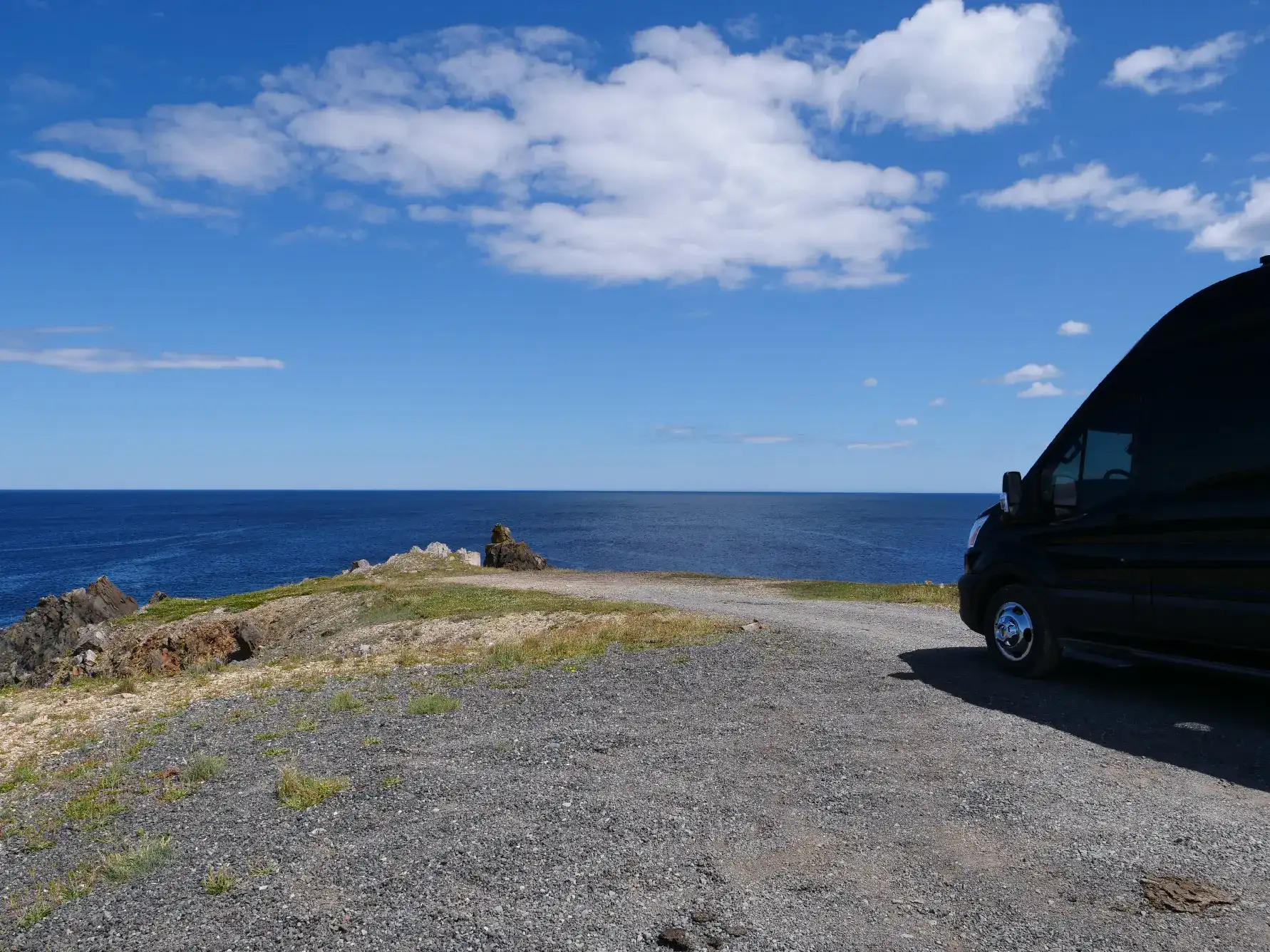
Boondocking: Enjoy Freedom, Respect the Rules
You've seen the word everywhere — on social media, in RV Facebook groups, on our own map — but you're not quite sure what it actually means?

Tank capacity calculator for your RV
Learn how to assess the capacity of your water tanks for a successful RV trip.
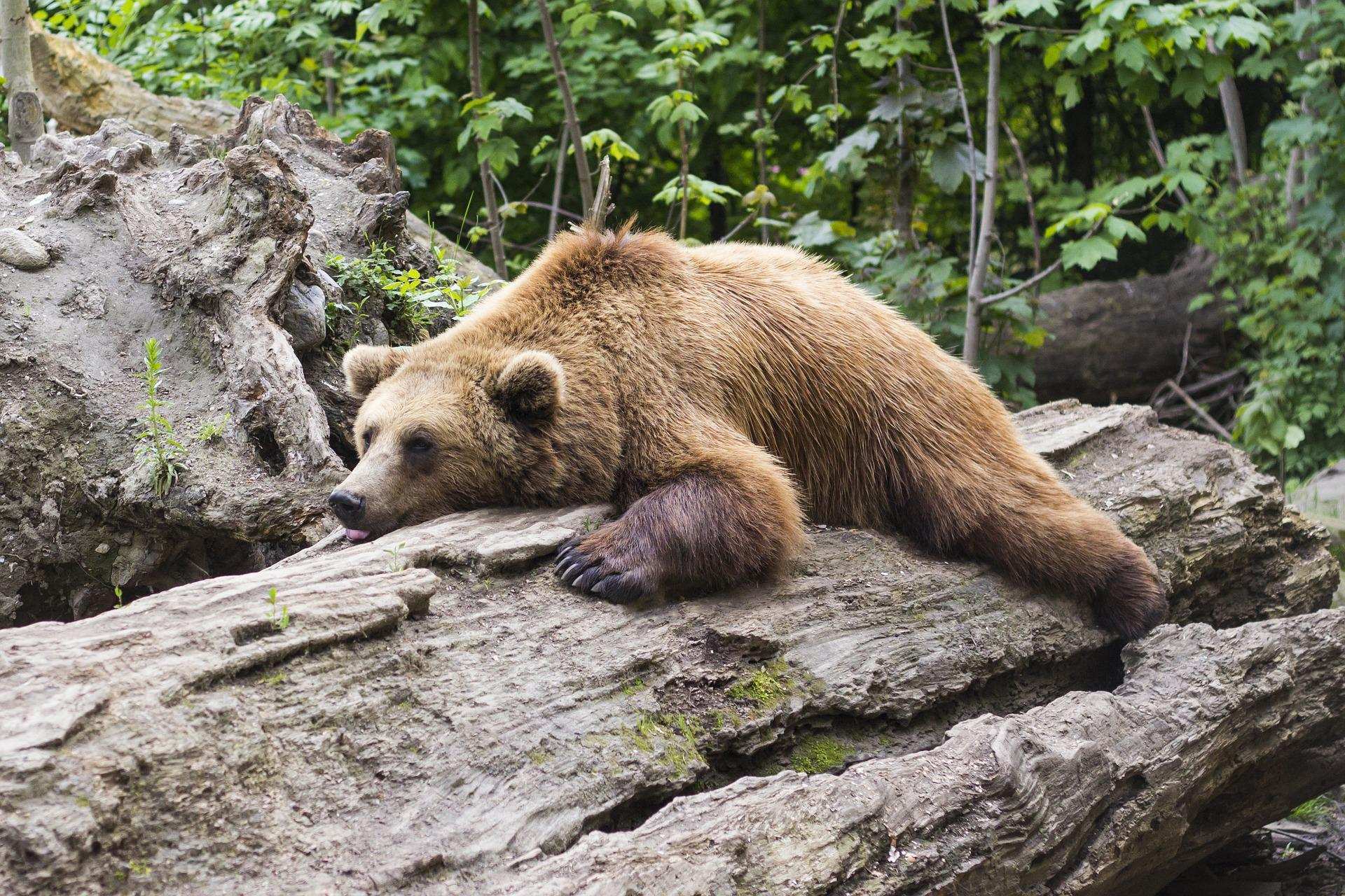
Learn how to properly use bear repellents.
How to choose and use bear spray correctly when camping in the backcountry.

Convert a distance between kilometers and miles
Convert a distance between kilometers and miles with one click.