

Home › États-Unis › Wyoming › Johnson County › 🏷️ Camping sauvage
Pole Creek Road
Location Map
Description
Pole Creek Road se situe dans la forêt nationale de Bighorn, offrant un accès à la nature environnante. C'est un lieu propice pour le camping et le boondocking. Assurez-vous de respecter les lieux et la nature, et de ne rien laisser derrière vous.
🕐 Latest comments
Photo Gallery
🔒 Become a Contributor to see all photos and enjoy the site ad-free.
Become a Contributor
📍 Nearby Places
- Elgin Park Road 🏷️ Gratuit — Johnson, Wyoming (3.8 km)
- Camping à Circle Park 🏷️ Gratuit — Johnson County, Wyoming (7.0 km)
- Ruisseau de Circle Park 🏷️ Gratuit — Johnson County, Wyoming (7.3 km)
- Forêt nationale de Big Horn 🏷️ Gratuit — Hazelton, Wyoming (7.8 km)
📖 Also Worth Reading
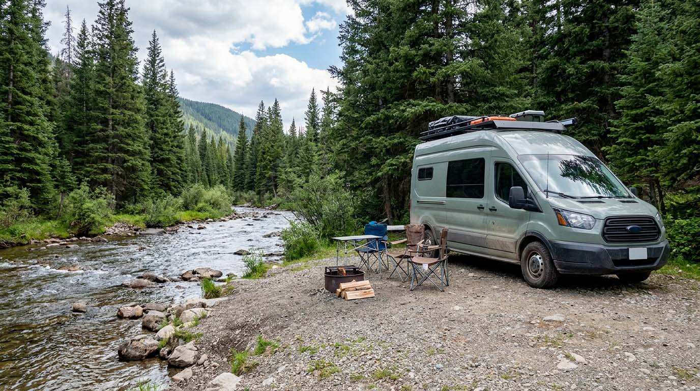
Electricity Consumption Calculator (Ah / Wh)
Calculate the electrical consumption of your devices in amp-hours and watt-hours.
Convert a distance between kilometers and miles
Convert a distance between kilometers and miles with one click.
Fuel consumption calculator
Estimate your RV's fuel consumption based on distance and price per liter.
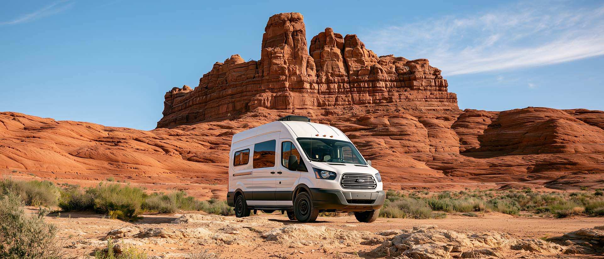
BLM Land in the U.S.: Free Camping, Length of Stay, and LTVAs
What is BLM land, how long can you camp there for free, and how do LTVAs work to stay longer? The full guide before heading out to winter in the American Southwest.