

Home › Canada › New Brunswick › Musquash › 🏷️ Gratuit
Musquash Estuary
✍️ Suggested by Contributeur 123Go
Location Map
Description
Paved road leading to a covered picnic table. Old bridge that used to cross over the Musquash River. It is recommended to turn around at the top of the road and back up to park. Be cautious of a small dip on one side of the road.
🕐 Latest comments
Photo Gallery
🔒 Become a Contributor to see all photos and enjoy the site ad-free.
Become a Contributor
📍 Nearby Places
- New River Beach Campground 🏷️ Station de vidange sanitaire — New River Beach, New Brunswick (15.6 km)
- Camping Parc provincial de la plage New River – Baie de Fundy, Nouveau-Brunswick 🏷️ Camping établi — New River Beach, New Brunswick (15.7 km)
- Centre d'accueil touristique – Saint John (route 1) 🏷️ Aires De Repos — Saint John West, New Brunswick (17.9 km)
- Ocean View Camping 🏷️ Camping établi — Pocologan, New Brunswick (19.1 km)
📖 Also Worth Reading

US to CAD Currency Converter: An Essential Tool
Discover how to use a US to CAD currency converter to facilitate your transactions and travels.
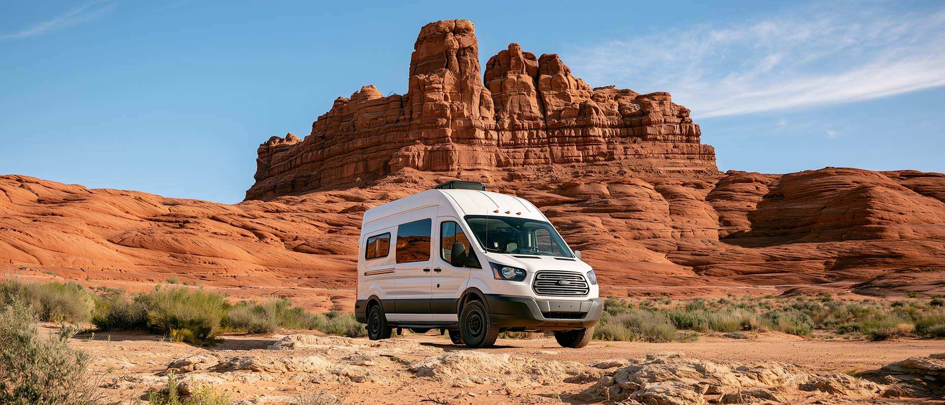
BLM Land in the U.S.: Free Camping, Length of Stay, and LTVAs
What is BLM land, how long can you camp there for free, and how do LTVAs work to stay longer? The full guide before heading out to winter in the American Southwest.
PSI ↔ kPa ↔ bar converter for tires
Convert your tire pressure between PSI, kPa, and bar in one click.

Walking Time Calculator
Estimate hiking time based on distance, elevation gain, and your pace.