

Home › Canada › Ontario › Est de l'Ontario › South Glengarry › 🏷️ Aires De Repos
Shell rest area 401-E11
✍️ Suggested by 123Go.Quebec
Location Map
Description
Official rest stop (picnic area) designated by the Ontario Ministry of Transportation, located along North Service Road, near South Glengarry. Exact facilities (restrooms, picnic tables) not detailed by the official source — check on site.
🕐 Latest comments
Photo Gallery
🔒 Become a Contributor to see all photos and enjoy the site ad-free.
Become a Contributor
📍 Nearby Places
- Centre infotouriste de Rivière-Beaudet 🏷️ Gratuit — Rivière-Beaudette, Québec (2.3 km)
- Camping St-Polycarpe 🏷️ Camping établi — Saint-Polycarpe, Québec (6.6 km)
- Le Sablon Plage et Camping 🏷️ Camping établi — Vaudreuil-Soulanges, Québec (6.8 km)
- Camping Glengarry 🏷️ Camping établi — South Glengarry, Ontario (9.8 km)
📖 Also Worth Reading
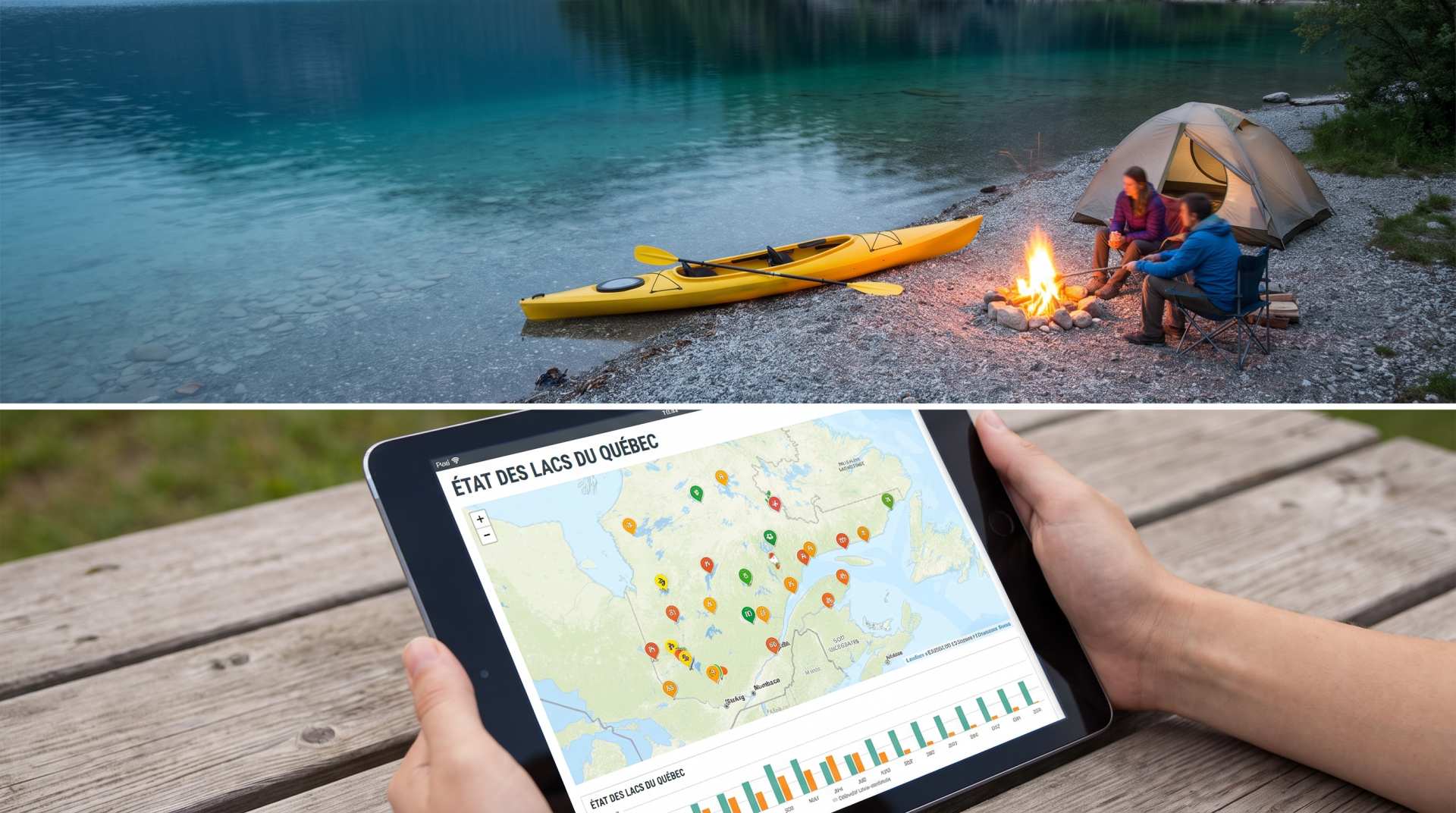
The state of Quebec's lakes: what the latest data says
Your swims and kayaking outings between two nights of camping deserve a healthy lake. Here’s what the latest data from the Government of Quebec reveals about the state of our lakes — and how to choose your next stop by the water.

Gas cost calculator for a trip
Estimate the total fuel cost for your next trip based on distance and price.
Electricity Consumption Calculator (Ah / Wh)
Calculate the electrical consumption of your devices in amp-hours and watt-hours.
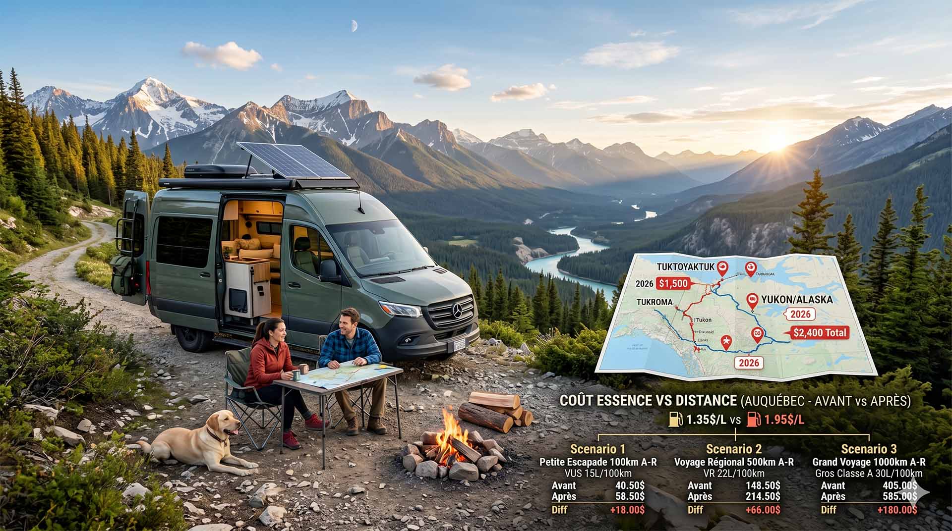
Price Increase: The Mathematical Strategy for Choosing Your Campsite Without Breaking the Bank
Cinq stratégies chiffrées pour choisir son camping intelligemment face à la hausse de l'essence : point de bascule essence/terrain, tactique du semi-servi, zones municipales gratuites et plus.