

Home › États-Unis › Utah › San Juan County › 🏷️ Parc d'État
Camping Dead Horse Point State Park – near Moab, Utah
Location Map
Description
Dead Horse Point State Park Campground, about 30 minutes from Moab, Utah, perched about 2,000 feet above a spectacular bend in the Colorado River, at the gateway to Canyonlands National Park. The park offers two campgrounds — Kayenta and Wingate — totaling around fifty sites nestled among junipers, with sites offering electricity (and, for some, water and sewer), shade shelters, fire rings, and covered picnic tables; nine air-conditioned yurts are also available. On-site: restrooms (both pit and flush), drinking water, and a dump station (no showers). The site is known for its canyon viewpoints, hiking and mountain biking trails, and grand sunsets. Reservations are highly recommended.
🕐 Latest comments
Photo Gallery
🔒 Become a Contributor to see all photos and enjoy the site ad-free.
Become a Contributor
📍 Nearby Places
- Long Canyon Road – camping dispersé gratuit 🏷️ Gratuit — Moab, Utah (6.3 km)
- Parc national de Canyonlands 🏷️ Parc d'État — Moab, Utah (7.5 km)
- Hatch Point Road 🏷️ Gratuit — San Juan, Utah (13.7 km)
- Mineral Point Road (BLM 340) – Camping boondocking gratuit à Moab, Utah 🏷️ Gratuit — Grand County, Utah (14.4 km)
📖 Also Worth Reading
Calculateur d'autonomie selon la vitesse et le réservoir et la consommation
Estimate how far you can travel based on tank size and fuel consumption.
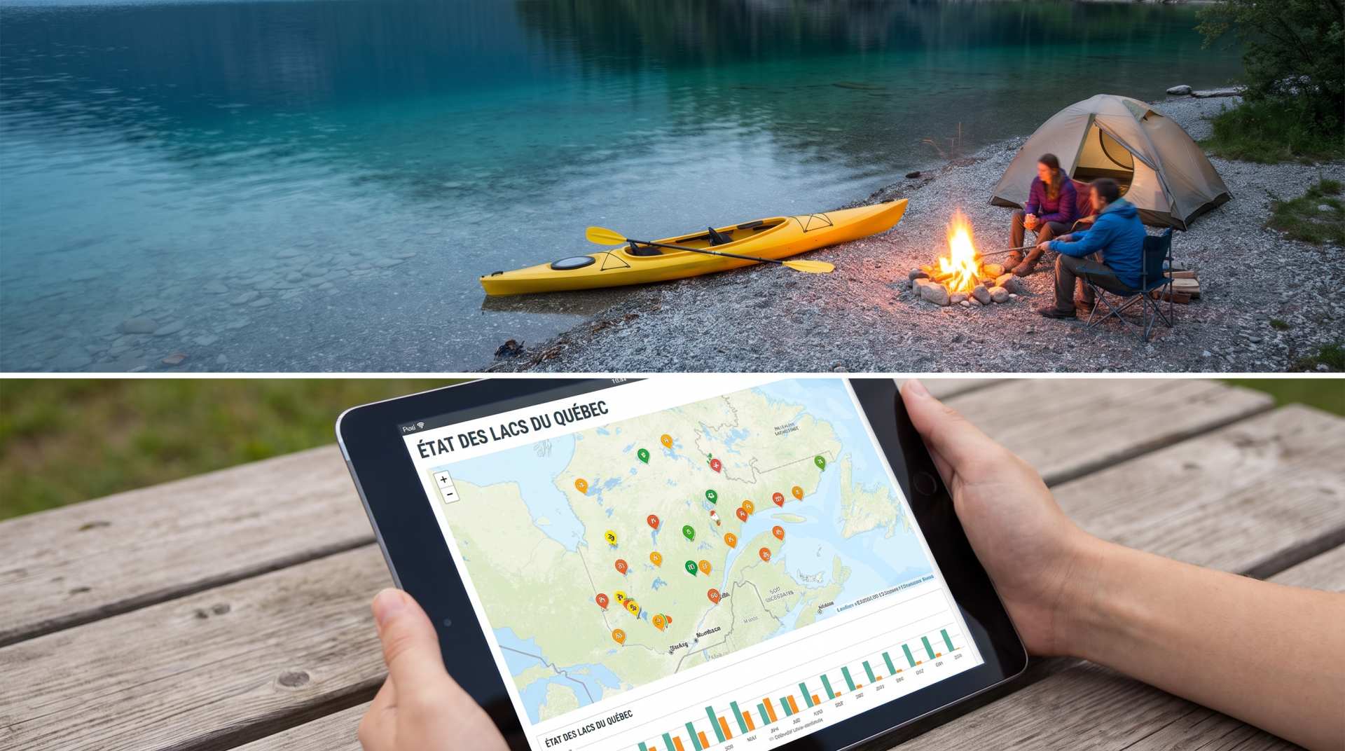
The state of Quebec's lakes: what the latest data says
Your swims and kayaking outings between two nights of camping deserve a healthy lake. Here’s what the latest data from the Government of Quebec reveals about the state of our lakes — and how to choose your next stop by the water.
PSI ↔ kPa ↔ bar converter for tires
Convert your tire pressure between PSI, kPa, and bar in one click.
Electricity Consumption Calculator (Ah / Wh)
Calculate the electrical consumption of your devices in amp-hours and watt-hours.