

Home › Canada › Colombie-Britannique › Hagensborg › 🏷️ Gratuit
Le chemin Blush
✍️ Suggested by Contributeur 123Go
Location Map
Description
Emplacement simple sur une route forestière menant au point de vue Mosquito Pass. Non adapté aux grands véhicules.
🕐 Latest comments
Photo Gallery
🔒 Become a Contributor to see all photos and enjoy the site ad-free.
Become a Contributor
📍 Nearby Places
- Le bord de la rivière 🏷️ Gratuit — Hagensborg, Colombie-Britannique (5.3 km)
- Terrain de camping en enrochement 🏷️ Camping établi — Area D (East Bella Coola), Colombie-Britannique (6.8 km)
- Le site récréatif des chutes d'Odegaard 🏷️ Gratuit — Area C (Hagensborg/Talchako/Atnarko), Colombie-Britannique (18.2 km)
- Le site récréatif avec vue sur le glacier Purgatory 🏷️ Gratuit — Area A (Ocean Falls/Outer Coast), Colombie-Britannique (21.5 km)
📖 Also Worth Reading
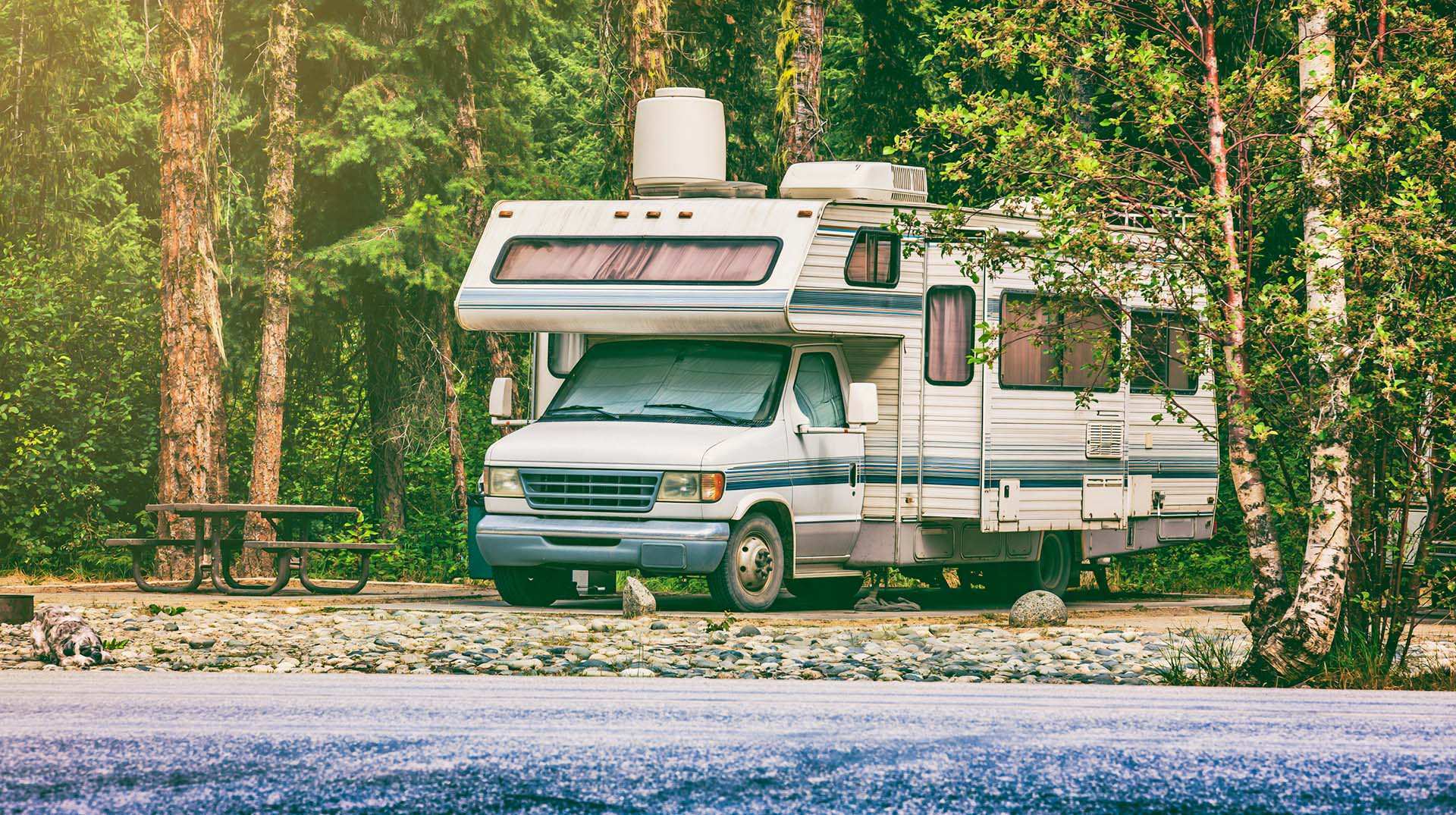
Loading weight calculator (payload)
Calculate the available payload for your RV without exceeding its maximum weight.
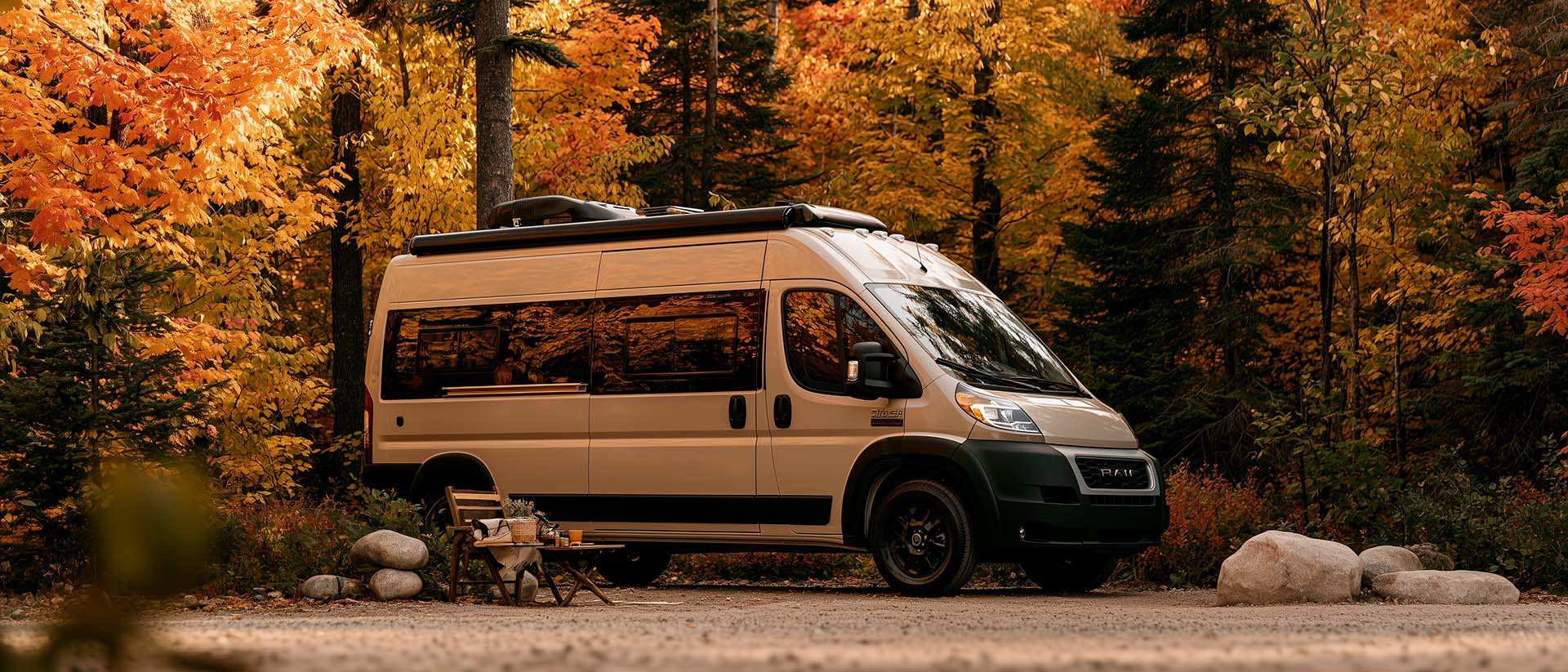
What Is Boondocking?
You've seen the word everywhere — on social media, in RV Facebook groups, on our own map — but you're not quite sure what it actually means?
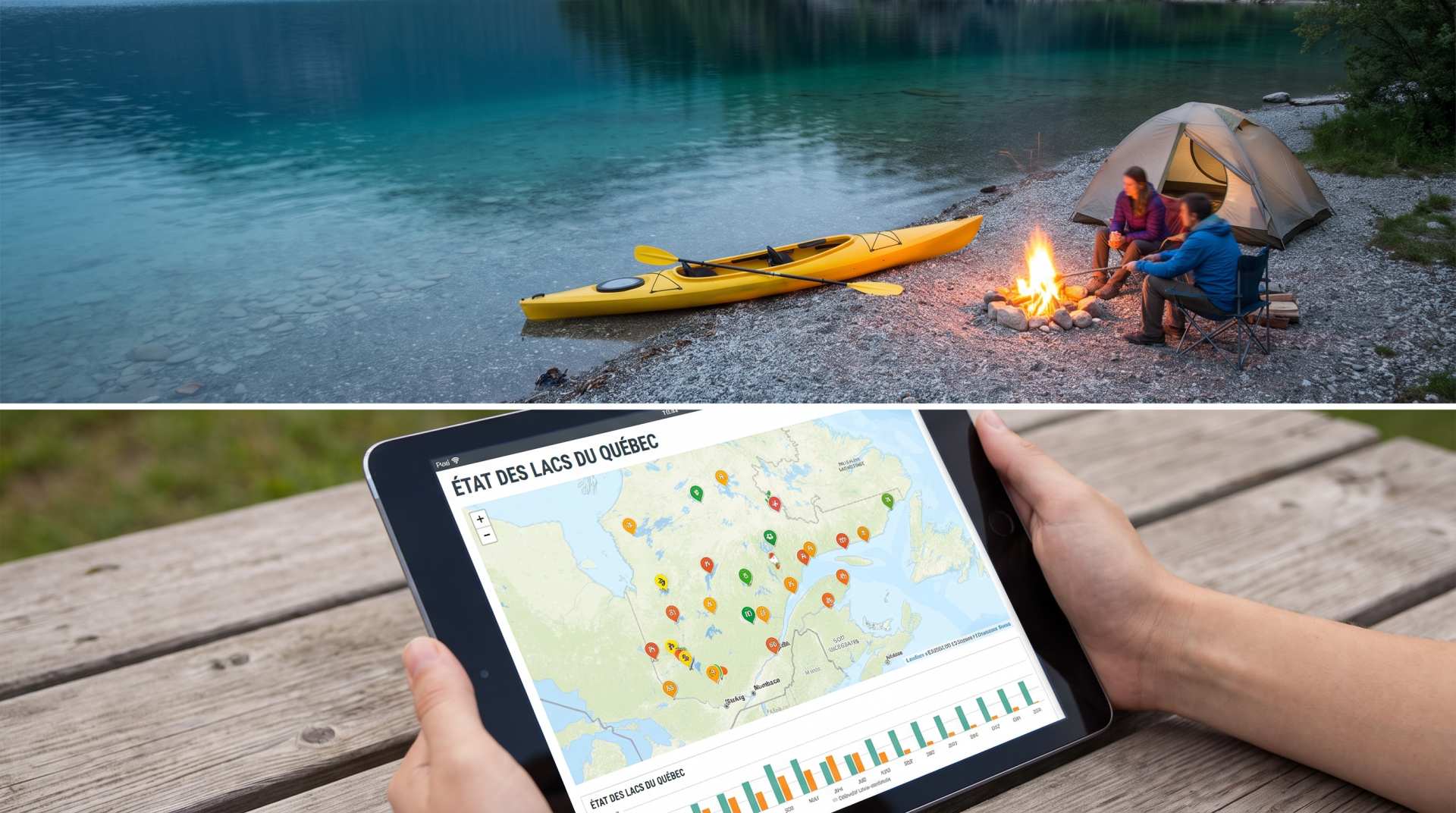
The state of Quebec's lakes: what the latest data says
Your swims and kayaking outings between two nights of camping deserve a healthy lake. Here’s what the latest data from the Government of Quebec reveals about the state of our lakes — and how to choose your next stop by the water.
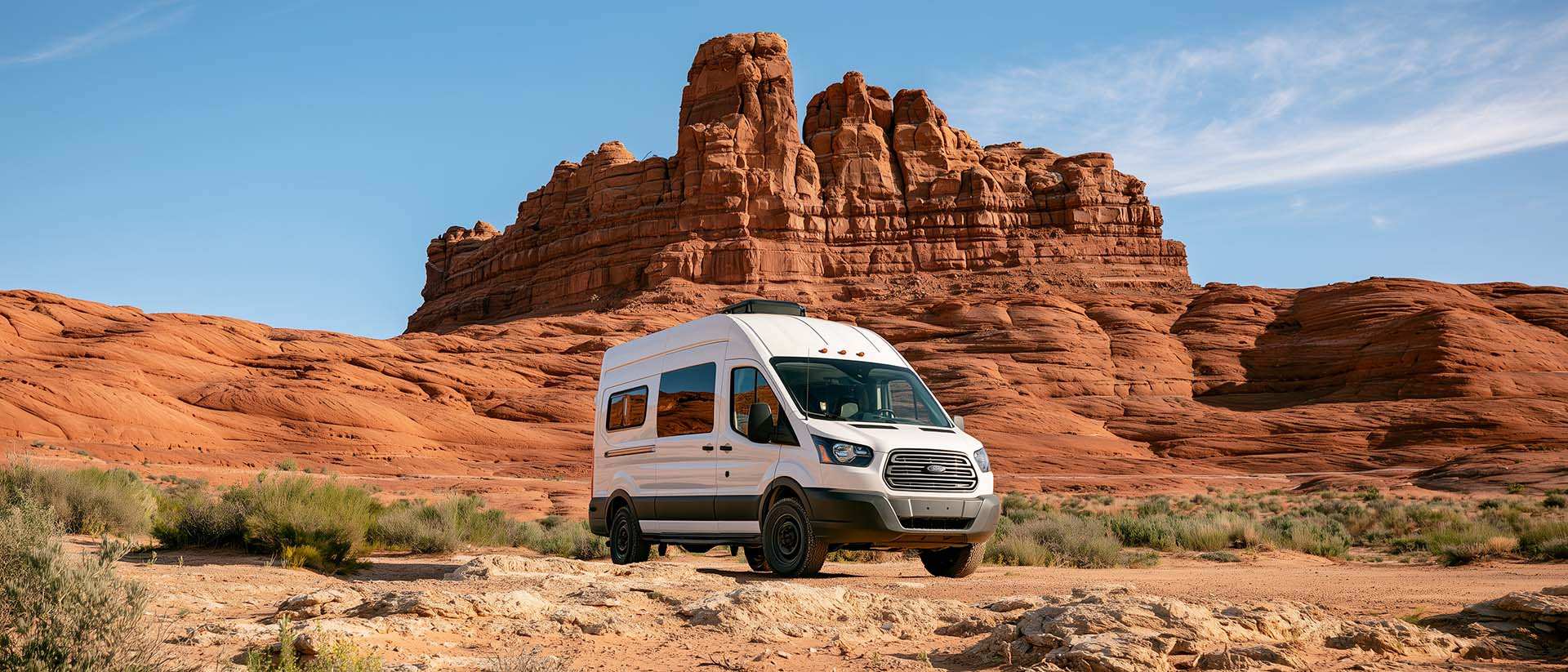
BLM Land in the U.S.: Free Camping, Length of Stay, and LTVAs
What is BLM land, how long can you camp there for free, and how do LTVAs work to stay longer? The full guide before heading out to winter in the American Southwest.