

Home › Canada › Colombie-Britannique › Suquash › 🏷️ Gratuit
Le chemin Rupert
✍️ Suggested by Contributeur 123Go
Location Map
Description
Tournez sur la route de gravier depuis la Highway 19, emplacement tranquille pour un véhicule de 25 pieds.
🕐 Latest comments
Photo Gallery
🔒 Become a Contributor to see all photos and enjoy the site ad-free.
Become a Contributor
📍 Nearby Places
- En dehors du chemin Rupert, autoroute 19 au sud de Port Hardy 🏷️ Gratuit — Suquash, Colombie-Britannique (2.2 km)
- Terrain de camping Bella Pacifica 🏷️ Camping établi — Area C (Hyde Creek/Benson Valley), Colombie-Britannique (8.8 km)
- Marble River Recreation Site 🏷️ Camping établi — Area B (Quatsino Sound/Cape Scott), Colombie-Britannique (13.2 km)
- Alder Bay RV Park & Marina 🏷️ Camping établi — Port McNeill, Colombie-Britannique (14.2 km)
📖 Also Worth Reading
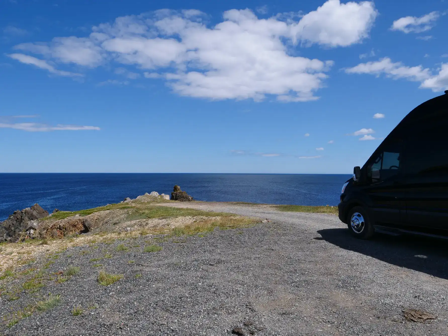
Boondocking: Enjoy Freedom, Respect the Rules
You've seen the word everywhere — on social media, in RV Facebook groups, on our own map — but you're not quite sure what it actually means?
Gas Price Converter Canada USA
Compare gas prices between Canada and the U.S., liters and gallons included.
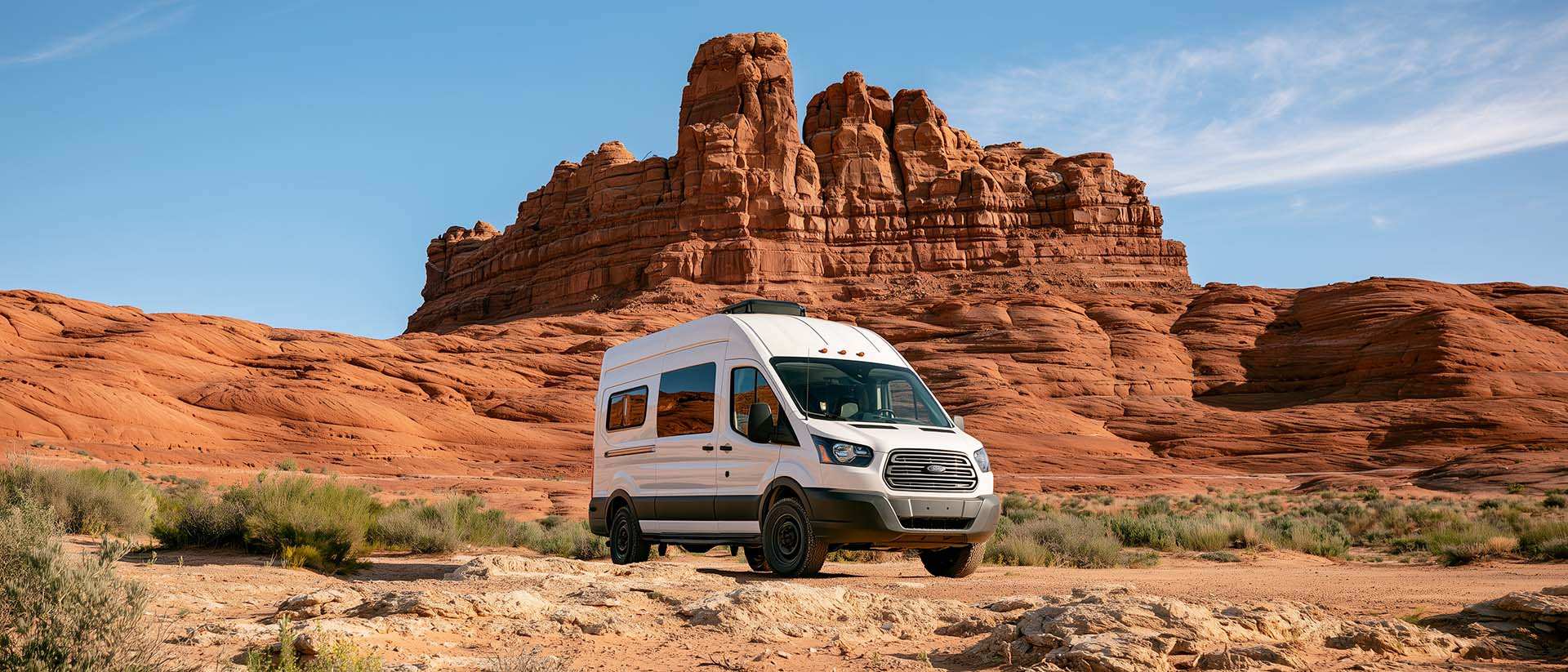
BLM Land in the U.S.: Free Camping, Length of Stay, and LTVAs
What is BLM land, how long can you camp there for free, and how do LTVAs work to stay longer? The full guide before heading out to winter in the American Southwest.
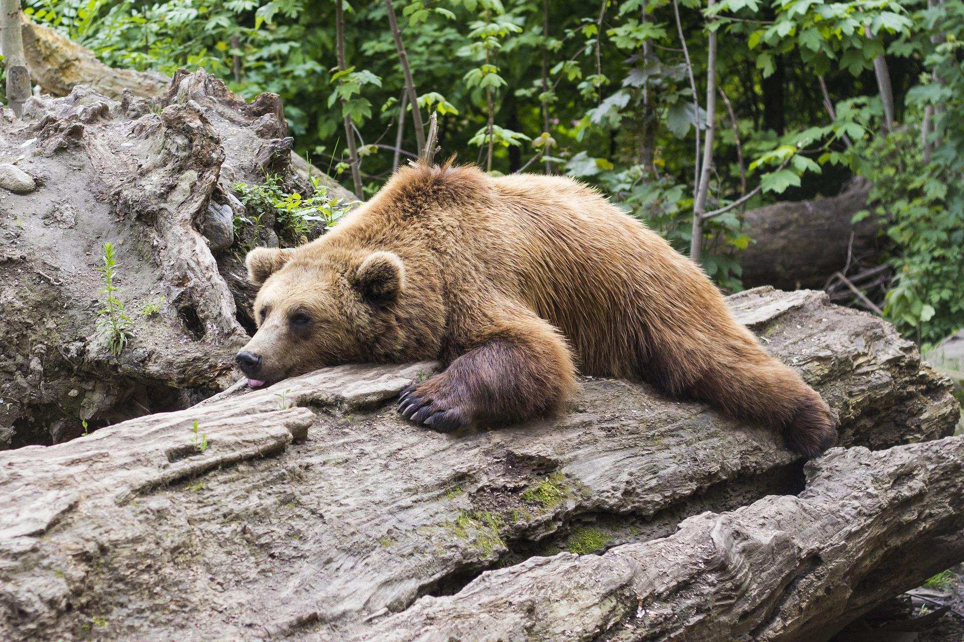
Learn how to properly use bear repellents.
How to choose and use bear spray correctly when camping in the backcountry.