

Home › Canada › Colombie-Britannique › Spillimacheen › 🏷️ Gratuit
Le Westside Road
✍️ Suggested by Contributeur 123Go
Location Map
Description
Petit arrêt à moins d'un km de l'autoroute, calme avec superbes paysages. Accès difficile mais faisable.
🕐 Latest comments
Photo Gallery
🔒 Become a Contributor to see all photos and enjoy the site ad-free.
Become a Contributor
📍 Nearby Places
- Le mur d'escalade Hueco 🏷️ Gratuit — Spillimacheen, Colombie-Britannique (4.4 km)
- Le Spillimachin 🏷️ Gratuit — Spillimacheen, Colombie-Britannique (5.5 km)
- Près du chemin 🏷️ Gratuit — Spillimacheen, Colombie-Britannique (8.8 km)
- Kootenay Crossing Recreation Site 🏷️ Gratuit — Area G (Forster Creek/Mount Assiniboine), Colombie-Britannique (16.3 km)
📖 Also Worth Reading
Calculateur d'autonomie selon la vitesse et le réservoir et la consommation
Estimate how far you can travel based on tank size and fuel consumption.
Gas cost calculator for a trip
Estimate the total fuel cost for your next trip based on distance and price.
Brake Distance Checker According to Weight
Calculate your vehicle's braking distance based on weight and speed.
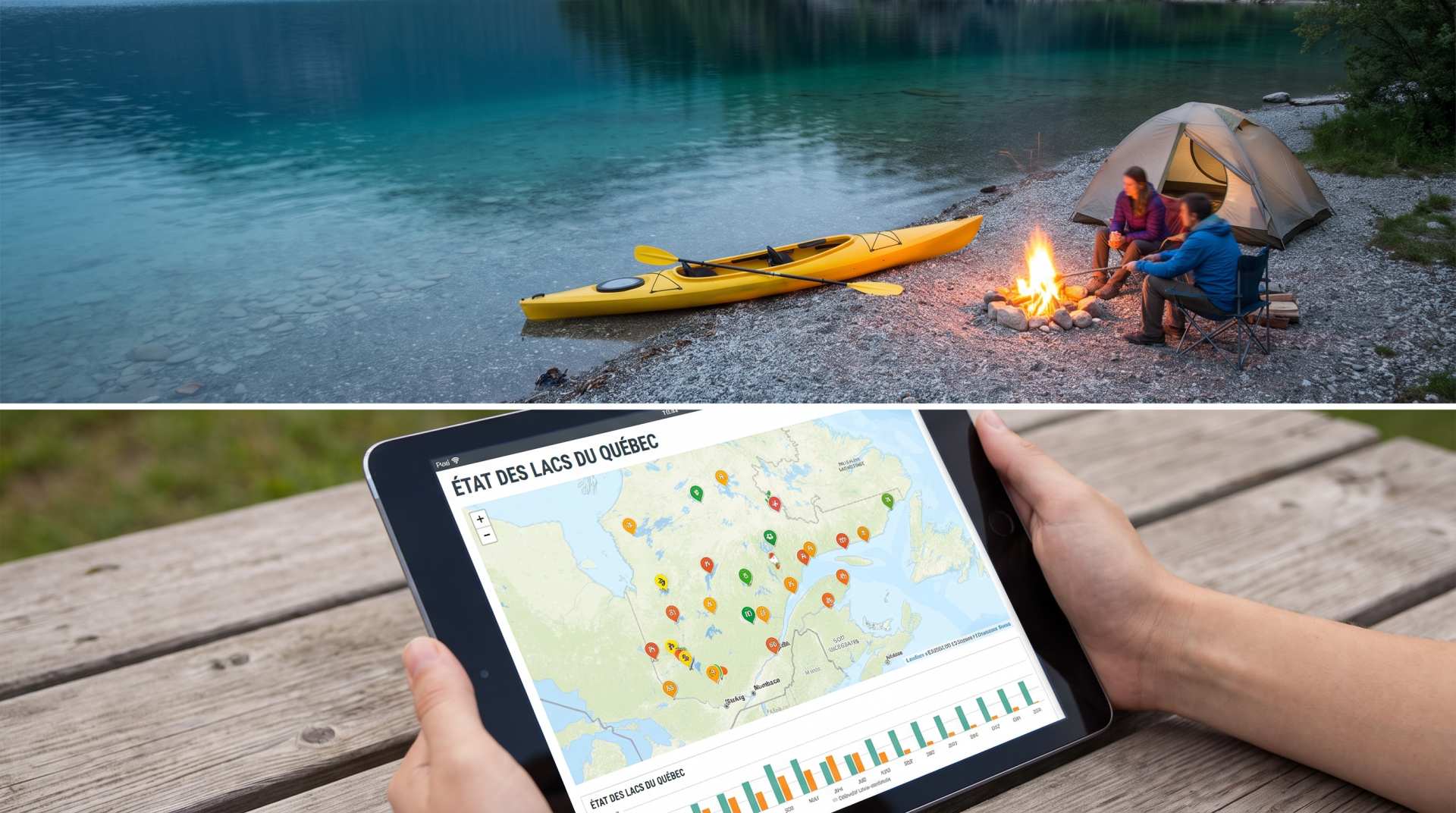
The state of Quebec's lakes: what the latest data says
Your swims and kayaking outings between two nights of camping deserve a healthy lake. Here’s what the latest data from the Government of Quebec reveals about the state of our lakes — and how to choose your next stop by the water.