

Home › États-Unis › Alaska › Paxson › 🏷️ Gratuit
En bord de Denali Hwy avec vue et pêche
✍️ Suggested by Contributeur 123Go
Amenities
Location Map
Description
Options de campement en haut de colline ou en contrebas. Vue sur le lac, espace pour plusieurs campeurs. Accès difficile pour grands véhicules. Denali Highway, Paxson, Copper River, Alaska, United States (Altitude: 1007 m; Eau de source, potabilité non confirmée)
🕐 Latest comments
Photo Gallery
🔒 Become a Contributor to see all photos and enjoy the site ad-free.
Become a Contributor
📍 Nearby Places
- Le lac au mile 7 🏷️ Gratuit — Unorganized Borough, Alaska (5.6 km)
- La route Denali Highway 🏷️ Gratuit — Paxson, Alaska (7.7 km)
- Point de départ du sentier Swede Lake 🏷️ Gratuit — Unorganized Borough, Alaska (9.1 km)
- Carrière de gravier 🏷️ Gratuit — Paxson, Alaska (11.2 km)
📖 Also Worth Reading
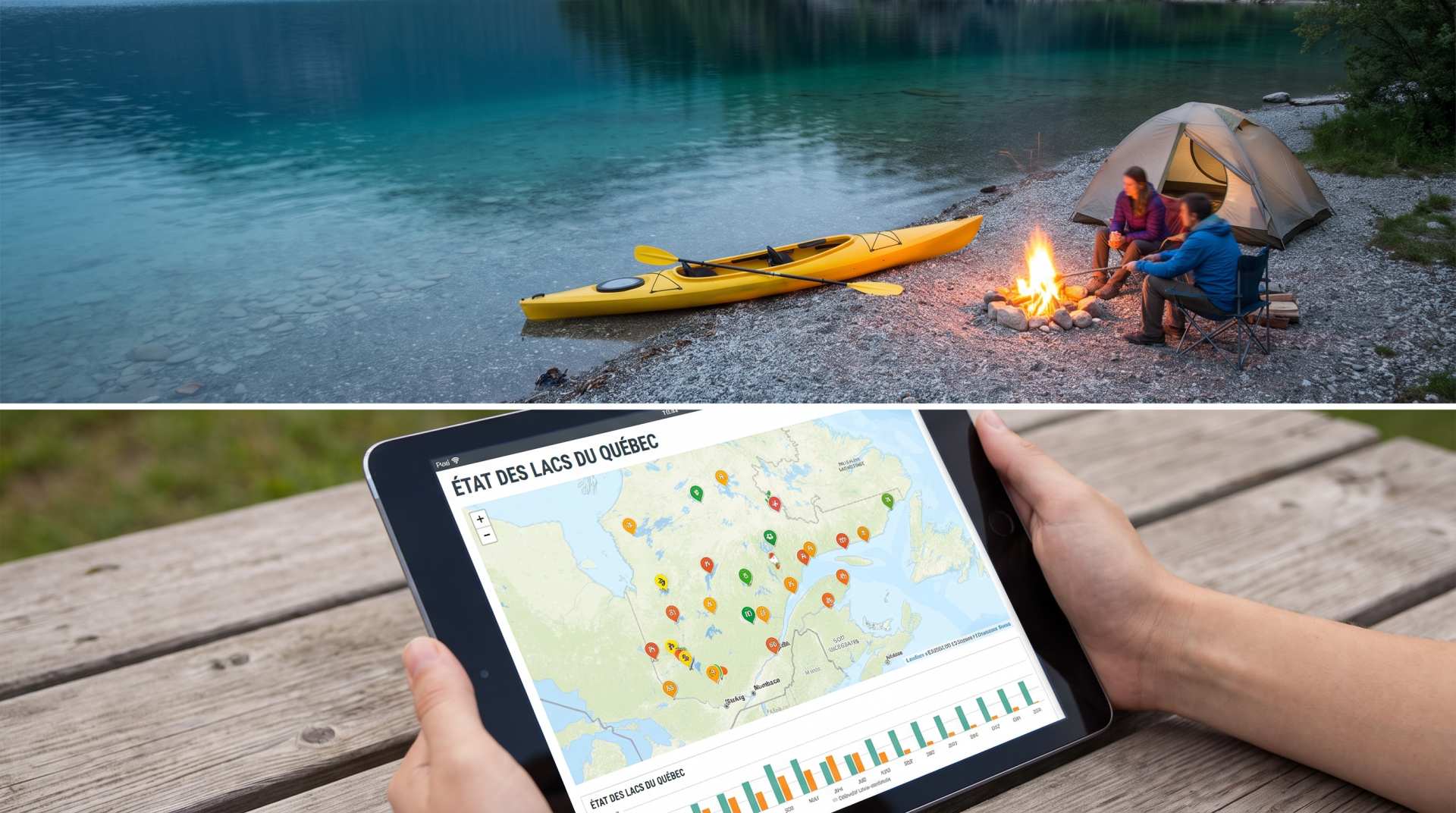
The state of Quebec's lakes: what the latest data says
Your swims and kayaking outings between two nights of camping deserve a healthy lake. Here’s what the latest data from the Government of Quebec reveals about the state of our lakes — and how to choose your next stop by the water.
Unit converter (length, weight, volume)
Quickly convert length, weight, and volume between imperial and metric.
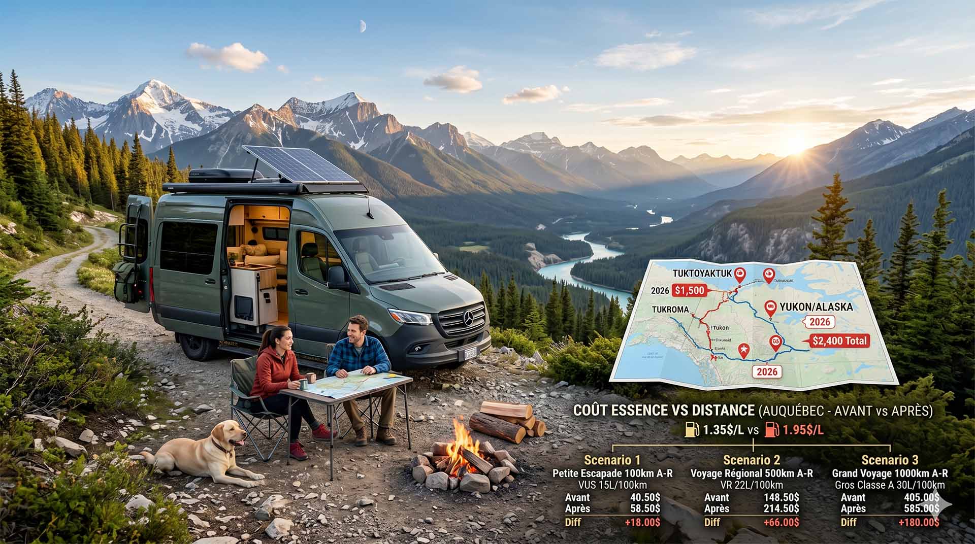
Price Increase: The Mathematical Strategy for Choosing Your Campsite Without Breaking the Bank
Cinq stratégies chiffrées pour choisir son camping intelligemment face à la hausse de l'essence : point de bascule essence/terrain, tactique du semi-servi, zones municipales gratuites et plus.
Convert a distance between kilometers and miles
Convert a distance between kilometers and miles with one click.