

Home › États-Unis › Washington › Okanogan County › 🏷️ Gratuit
Daisy – camping officiel gratuit / dispersé (forêt nationale)
Location Map
Description
Camping gratuit, aménagé ou dispersé, sur terres du Service forestier américain (US Forest Service), secteur de Oroville, Washington. Généralement premier arrivé, premier servi, sans réservation ni service structuré. Informez-vous sur la réglementation locale et la légalité d'y passer la nuit avant de vous y rendre.
🕐 Latest comments
Photo Gallery
🔒 Become a Contributor to see all photos and enjoy the site ad-free.
Become a Contributor
📍 Nearby Places
- Tiffany Spring – camping officiel gratuit / dispersé (forêt nationale) 🏷️ Gratuit — Okanogan County, Washington (19.6 km)
- Salmon Meadows – camping officiel (forêt nationale) 🏷️ Camping établi — Okanogan County, Washington (23.6 km)
- Camp Four – camping officiel (forêt nationale) 🏷️ Camping établi — Okanogan County, Washington (25.0 km)
- Un magnifique endroit de baignade dans une rivière 🏷️ Attrait touristique — Area B (Cawston/Lower Similkameen), Colombie-Britannique (26.3 km)
📖 Also Worth Reading
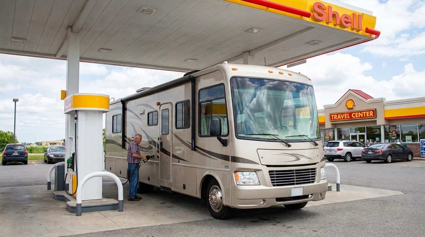
Fuel consumption calculator
Estimate your RV's fuel consumption based on distance and price per liter.
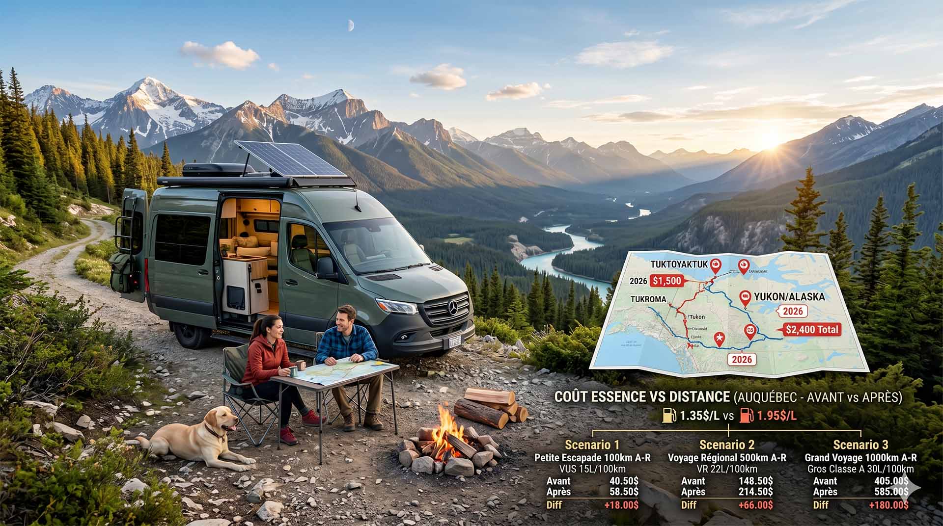
Price Increase: The Mathematical Strategy for Choosing Your Campsite Without Breaking the Bank
Cinq stratégies chiffrées pour choisir son camping intelligemment face à la hausse de l'essence : point de bascule essence/terrain, tactique du semi-servi, zones municipales gratuites et plus.

Unit converter (length, weight, volume)
Quickly convert length, weight, and volume between imperial and metric.
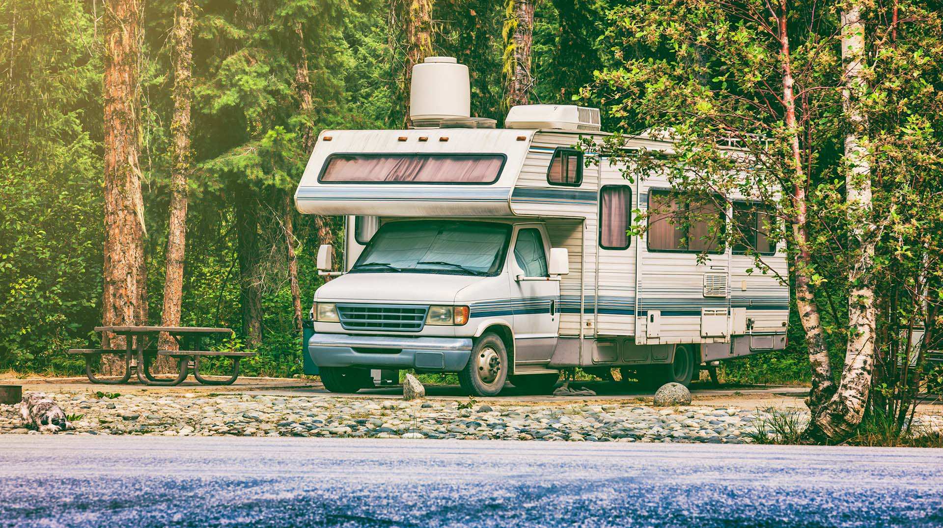
Loading weight calculator (payload)
Calculate the available payload for your RV without exceeding its maximum weight.