

Home › Canada › Québec › Chaudière-Appalaches › Cap-Saint-Ignace › 🏷️ Aires De Repos
Halte of Cap-Saint-Ignace
✍️ Suggested by 123Go.Quebec
Location Map
Description
Official rest area of the Ministry of Transport and Sustainable Mobility of Quebec, on Chemin des Pionniers Ouest, in Cap-Saint-Ignace. Located on Chemin des Pionniers Ouest at the west entrance of the village, near the beginning of Rue du Manoir Ouest. Facilities: restrooms, picnic tables, accessible access, drinking water. Seasonal stop (closed in winter).
🕐 Latest comments
Photo Gallery
🔒 Become a Contributor to see all photos and enjoy the site ad-free.
Become a Contributor
📍 Nearby Places
- Halte-repos Moulin Vincelotte 🏷️ Aires De Repos — Cap-Saint-Ignace, Québec (3.8 km)
- Quai de Saint-Antoine-de-l'Isle-aux-Grues 🏷️ Gratuit — Saint-Antoine-de-l'Isle-aux-Grues, Québec (5.4 km)
- Camping municipal de l'Isle-aux-Grues 🏷️ Camping établi — Saint-Antoine-de-l'Isle-aux-Grues, Québec (6.7 km)
- Camping Pointe-aux-Oies de Montmagny 🏷️ Camping établi — Montmagny, Québec (7.3 km)
📖 Also Worth Reading

US to CAD Currency Converter: An Essential Tool
Discover how to use a US to CAD currency converter to facilitate your transactions and travels.

PSI ↔ kPa ↔ bar converter for tires
Convert your tire pressure between PSI, kPa, and bar in one click.
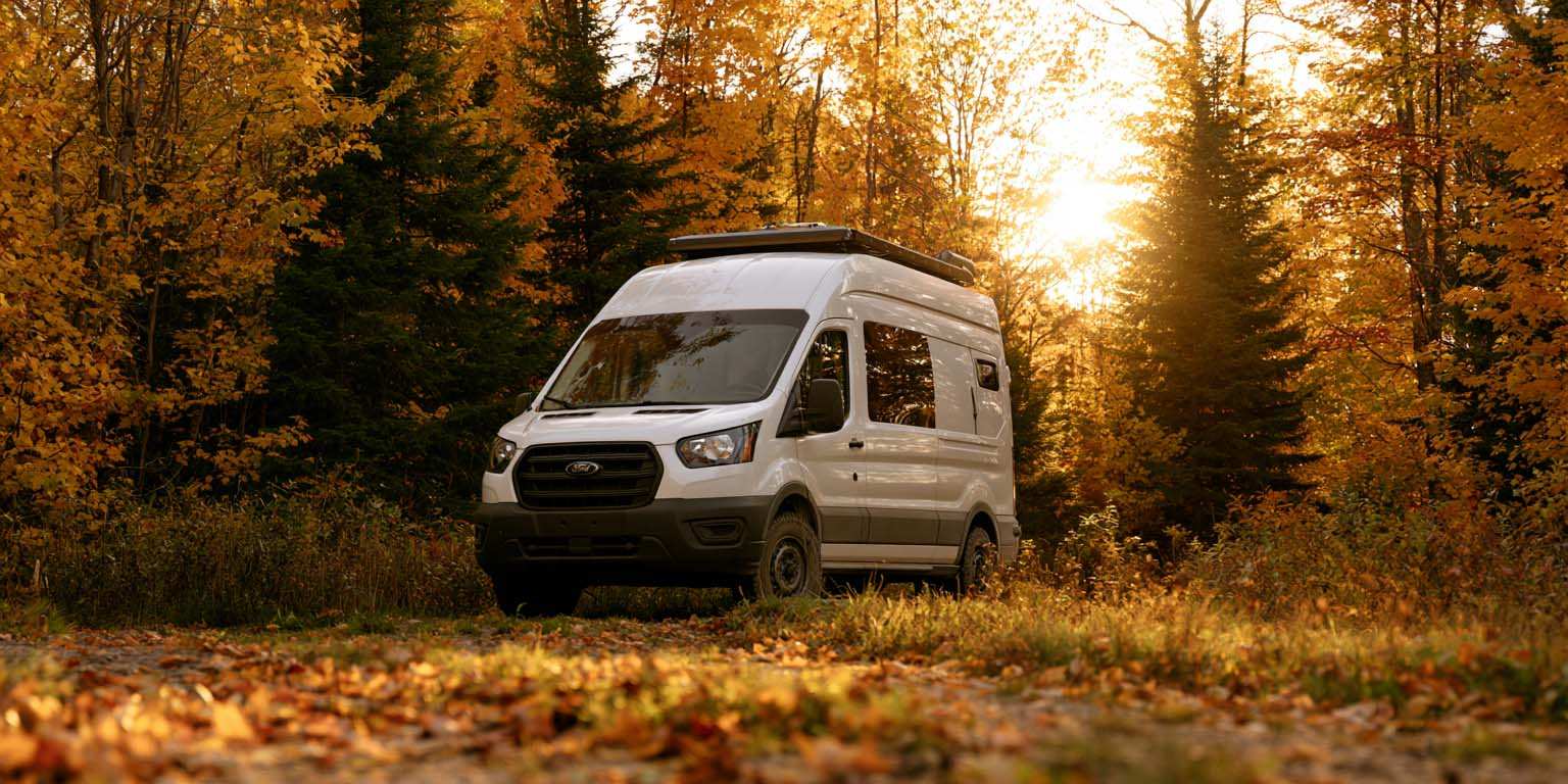
What to do in Quebec in September
September might be the best-kept secret on the Quebec RV calendar.The campgrounds empty out, rates drop, the mosquitoes are gone, the first colours light up in the north.

Tank capacity calculator for your RV
Learn how to assess the capacity of your water tanks for a successful RV trip.