

Home › Canada › Colombie-Britannique › Tête Jaune Cache › 🏷️ Gratuit
The stone quarry -- Area H (Robson Valley/Canoe), British Columbia
✍️ Suggested by Contributeur 123Go
Location Map
Description
Old gravel pit transformed into a wild camping site. Follow the orange flags to access the river.
🕐 Latest comments
Photo Gallery
🔒 Become a Contributor to see all photos and enjoy the site ad-free.
Become a Contributor
📍 Nearby Places
- Le chemin forestier à côté de l'autoroute Yellowhead 🏷️ Gratuit — Fraser Fort George H, Colombie-Britannique (0.3 km)
- La forêt Robson 🏷️ Gratuit — Mount Robson, Colombie-Britannique (2.9 km)
- Le point d'arrêt sur l'autoroute 16 en direction du parc national Jasper 🏷️ Gratuit — Tête Jaune Cache, Colombie-Britannique (3.6 km)
- Le carrefour des autoroutes 16 et 5 🏷️ Gratuit — Tête Jaune Cache, Colombie-Britannique (5.6 km)
📖 Also Worth Reading
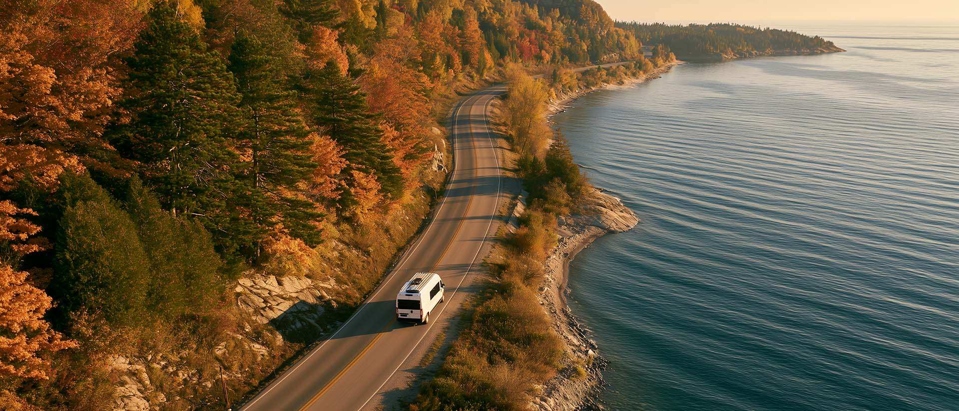
What to Do in Québec in October
October 2026 in Québec by RV: fall colours at their peak, Thanksgiving, off-season rates, and the last festivals before campgrounds close for the season.
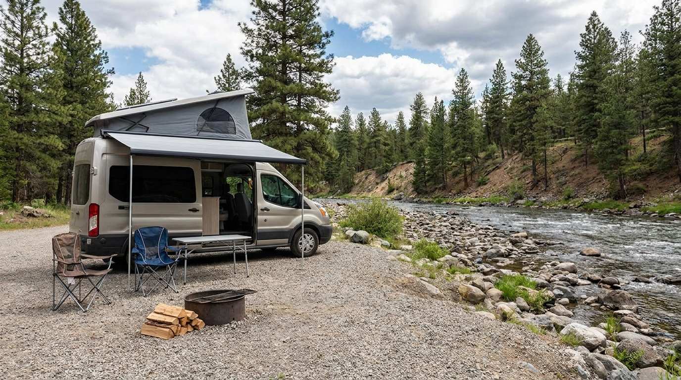
Discover free camping spots for recreational vehicles in Quebec, Canada, and the United States.
Discover the best free camping spots in Quebec, Canada, and the United States with our interactive map. Share and add your own boondocking locations!

Fuel consumption calculator
Estimate your RV's fuel consumption based on distance and price per liter.
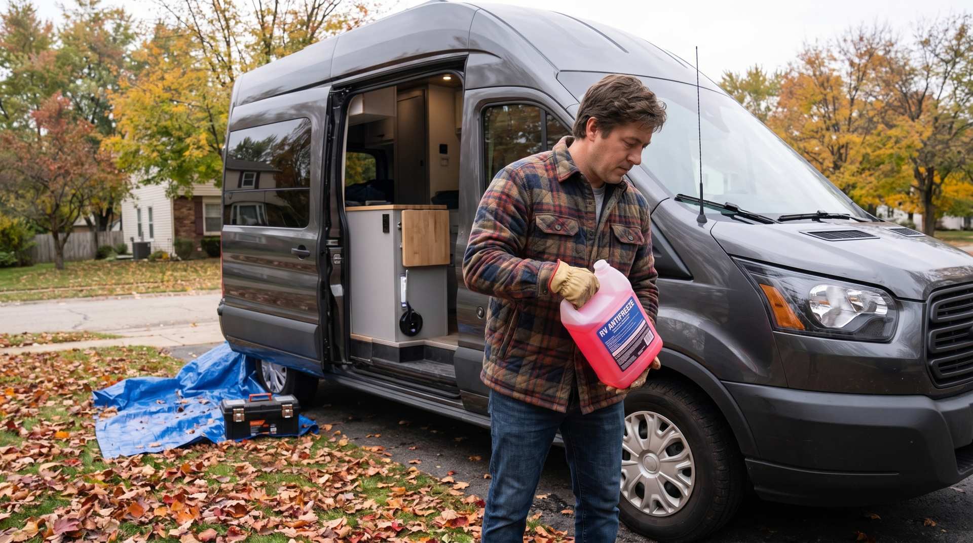
How to prepare your converted van for winter
There are no second chances when it comes to winter storage. A single night at −8 °C with a liter of water forgotten in a pipe elbow, and you’ll discover the damage in the spring — as soon as the pump turns on and sprays the inside of your RV.